
Hiking Chamonix to Zermatt Part One

Post Author: Olivia Jackson
The Walkers Haute Route
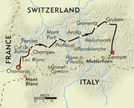
Click image to discover more about the traditional Walkers Haute route
The walkers Haute route is traditionally a 200km walk from Chamonix (France) to Zermatt (Switzerland), reaching 2964m in height. Travelling on average 20km a day from one mountain refuge hut to another, you will need to carry everything you need strapped to your back. Usually the busy period on the route is from the start of July till end of August.
However, in true fashion, we went at the start of June when it was quiet and therefore didn’t meet another soul on the paths. We stayed in a tent throughout the hike, which added considerable weight to our packs alongside all the other equipment required, but it was definitely worth it.
We went in early June, right after one of the worst winters of the last decade. We were unable to do the traditional route as there was so much snow and we didn’t want to take winter climbing gear as well.
The Walkers “Naute” Route
Roughly, we walked from Chamonix to Zermatt, hiking where we could and diverting to explore other areas when we wanted, it was pure freedom. Knowing that nobody expected us to be anywhere, we could randomly divert from our course if we fancied which made the walk extremely liberating. Not quite the proper Haute Route, but close enough for us.
The first few days we spent in Chamonix, sampling the local cuisine and heading up the cable car through the clouds to glimpse a view of Mont Blanc. I’d recommend always using a few days before the start of a hike in the Alps to acclimatise, as we sea level dwelling Brits wont be used to the slightly thinner air of the high mountains.
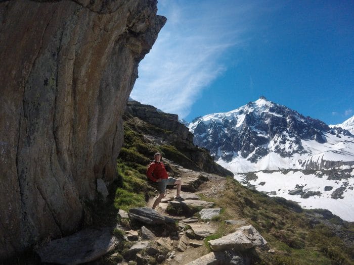
Plan de l’aiguille
Hike day 1 – Chamonix – Argentière
We left the campsite ‘Les Arolles’ and departed Chamonix, heading up the valley towards Switzerland. The first half of the day eases you in gently with flat winding paths through forests and babbling brooks, lulling you into a false sense of ease… then all of a sudden you go up, up and then up a bit more!
There are two campsites in Argentière, we chose the one north of the town as it meant less walking for the next day, although it meant more walking for this day, the 40 minutes that it took to get up there felt like the longest part of our days hike, it was about 34 degrees and we were melting. Before heading to the campsite i’d recommend grabbing something to eat, as the pesto panini from ‘Côté Snack – Mendes Mario’ was absolutely delicous.
Hike day 2 – Argentière – Le Peuty – Montigny
“Drip drip drop little april showers, beating a tune as you fall all around…”
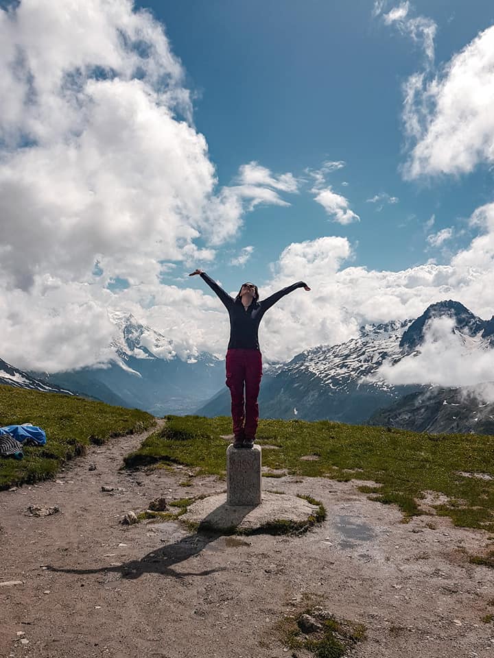
Standing on the border of France and Switzerland
By far the hardest day of the entire route. For the first 3 hours and 1000m of height gained we walked through a cloud. We were roasting hot but drenched to the bone, resigned to the fact we probably wouldn’t see any of the views the book had promised.
However, when we reached the Col de Balme (2,191m) where France meets Switzerland, all the cloud that had plagued our view seemed to part like the red sea and we could even make out Chamonix in the distance.
After a quick pot of pasta, we embarked on a wobbly legged 1000m decent into Le Peuty, with the thought of Swiss beer spurring us on. Traditionally walkers would camp here then head up to the glacier, but instead we went over the valley to Montigny to camp.
Hike day 3 – Montigny – Arolla
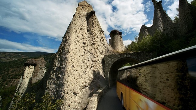
Up early to a cafe for some swiss coffee, then off to catch a very on-time train up the valley to Sion. Twenty minutes of non stop vineyard views later we arrived, hopped on a bus up another valley to Arolla. On the way up these winding hills we passed the pyramides d’euseigne, huge cone features protected by a rock lodged on the top. The cones were created in the end phase of the last Ice Age, about 80,000 to 100,000 years ago, see photos below.
We arrived in Arolla, saying goodbye to our new friends on the bus we strolled up to the campsite, which is actually the highest campsite in Europe, sitting proud at 1950m. Five minutes in this campsite we knew it was going to be our favourite, and not just because they had two beautiful dogs.
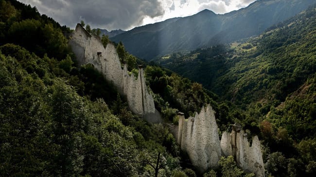
Hike day 4 – Arolla
The plan was always to treat ourselves to a bed during the trip, but instead of a hotel we opted for a canvas teepee with a little wood burning stove. A storm was passing over Arolla that day so we took it off as a chill day, playing card games, reading our books and listening to the thunder.
I’d definitely recommend learning a few different games before you go away so if for example you only know one game you aren’t stuck playing it over and over. Luckily Michael knew a lot more than I did and taught me the ways.
Day 5 – Arolla
Waking up after another cosy night in the canvas tent by the stove, we saw that it was blazing sunshine so we set about packing a day back for the days hike, had a quick breakfast, and started hiking up towards Mont Collon.
Stopping for lunch next to the glacial melt water lake, we felt how impressive these mountains were and how odd it was knowing that the Matterhorn was just in the next valley but we wouldnt see it for another 4 days.
Arolla was definitely our favourite place in Switzerland, the quanit little town with spectacular views, everyone seemed so relaxed as I imagine in winter they are over run with snow sports holiday makers. We also became good friends with the owners of the Campsite (and their dogs), they were so friendly and apparantly throw a music festival in their campsite every summer.
Keep a look out for part two of our adventure, where next week we will share tales from the remainder of our route.
Photo Gallery
-
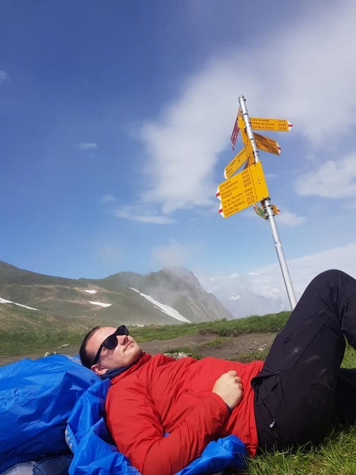
- Resting on the Col de Balme
-
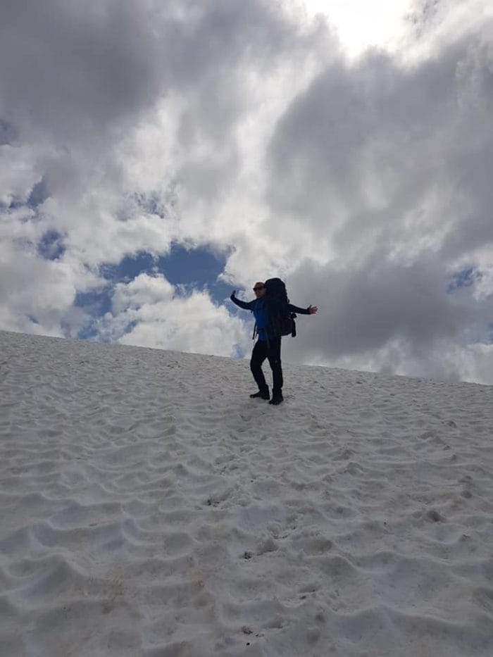
- 20 metres over the Swiss border
-
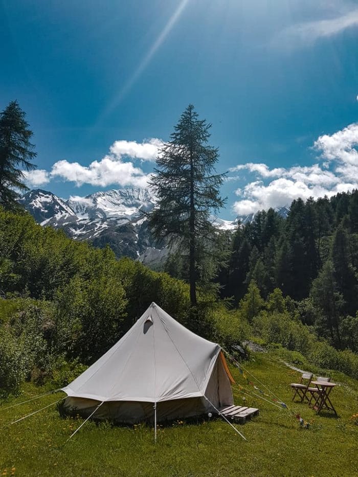
- Our Teepee for two nights in Arolla
-
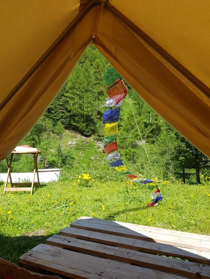
- The Nepalese flags we put on every tent we slept in during the Hike
-
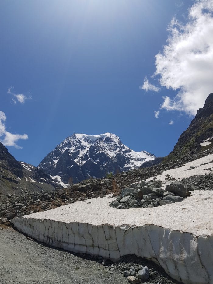
- Mont Collon
-
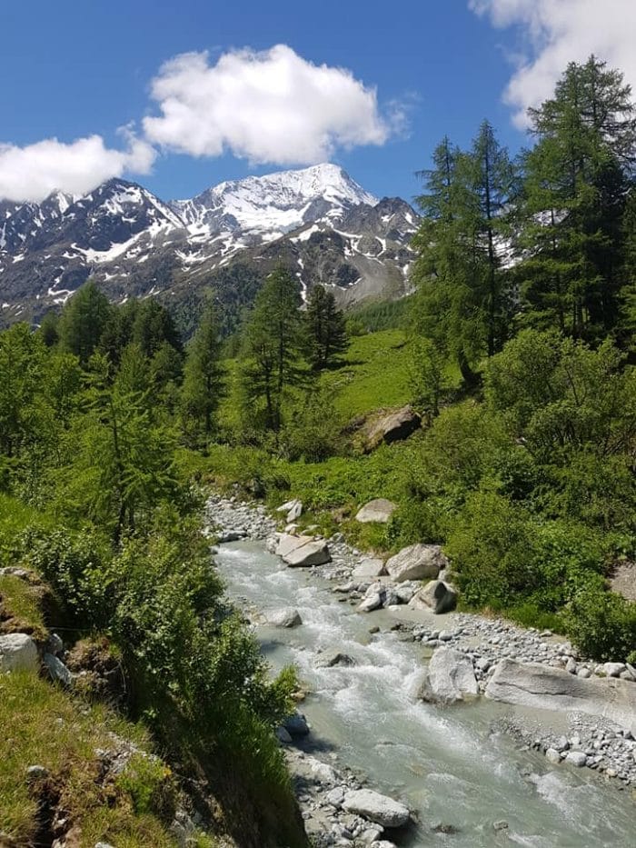
- Glacial melt water river down from Mont Collon
-
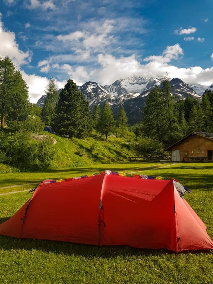
- Wild Country Blizzard 3
-
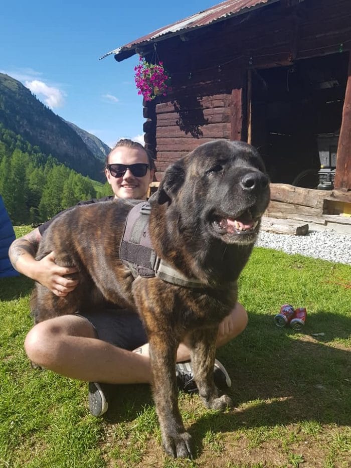
- Gaia, one of the campsite owners dog
Author: Olivia Jackson
Comments are closed here.